During data submission, some identifying information is transmitted and stored on the server:
geoSDI Collect passes the deviceID of the device to the server during the submission process. (the HEAD request that initiates the submission is a URL of the form: .../submission?deviceID=imei%3A9117DD011813771 ). The geoSDI Aggregate server does not store this deviceID in any database tables, but it will generally be emitted into the webserver access log. This deviceID uniquely identifies the device from which the data is submitted. This can be useful when correlating events on the server with interactions from specific devices. Because this is logged, it is likely that a submission can be correlated with a device, and therefore a data collector.
If geoSDI ODKAggregate is configured to require authentication (username / password or Google account) for submission (i.e., the Data Collector permission is NOT granted to the anonymousUser), then the username (or Google account) that authenticated is written into the audit fields of the data tables storing the submission. If the anonymousUser is granted Data Collector privileges, no authentication is performed, and "anonymousUser" is written into those fields.
The content of these audit fields is not exposed in exported CSV files, or published to downstream systems. However, because it is present in the database tables, you can definitely correlate this authenticated username or Google account with the submitted data.
CONCLUSA LA SIMULAZIONE IN PALESTINA CON IL WORLD FOOD PROGRAMME E LA PALESTINIAN CIVIL DEFENCE
"Un'esperienza per aumentare la capacità dei propri collaboratori in tutti i campi del sapere, per fornire il miglior servizio per il pubblico attraverso esperti qualificati"
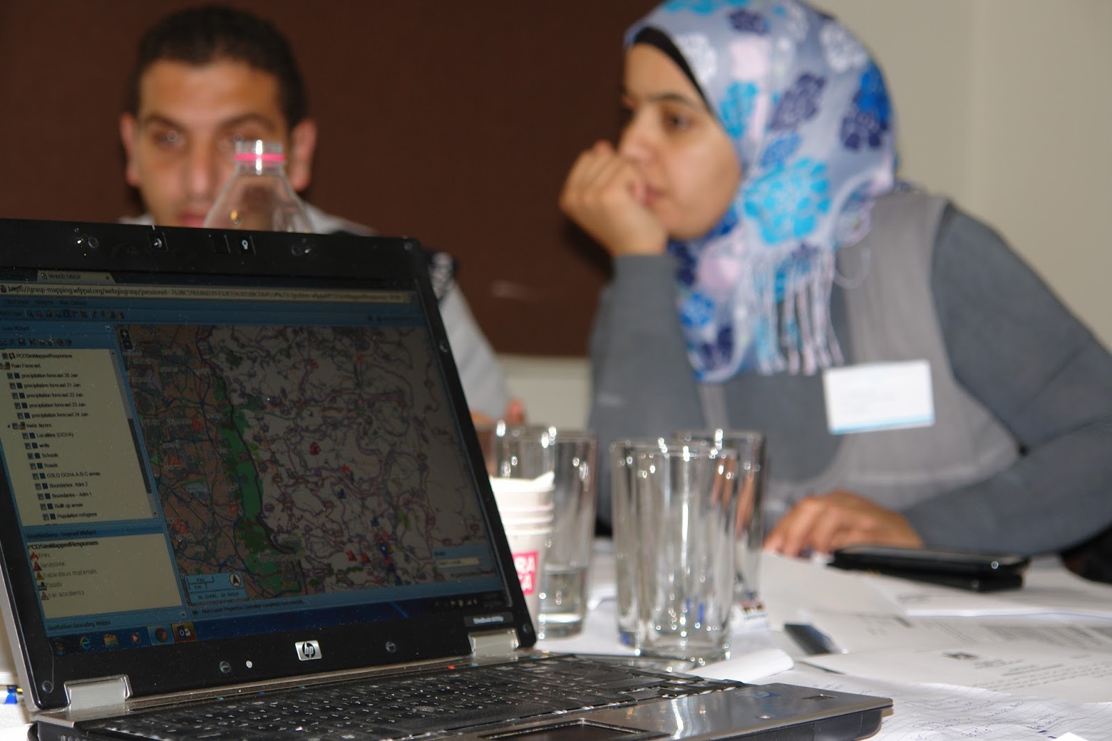
E' quanto ha commentato il Brigadier Generale Yousef Nassar, vice direttore del PCD (Palestinian Civil Defence) a proposito dei 3 giorni di training e di simulazione sugli Information Management Tools (geoSDI, GRASP, Web Portal) condotto dal WFP (e con il supporto del Team italiano geoSDI) per 33 funzionari di diversi dipartimenti del PCD.
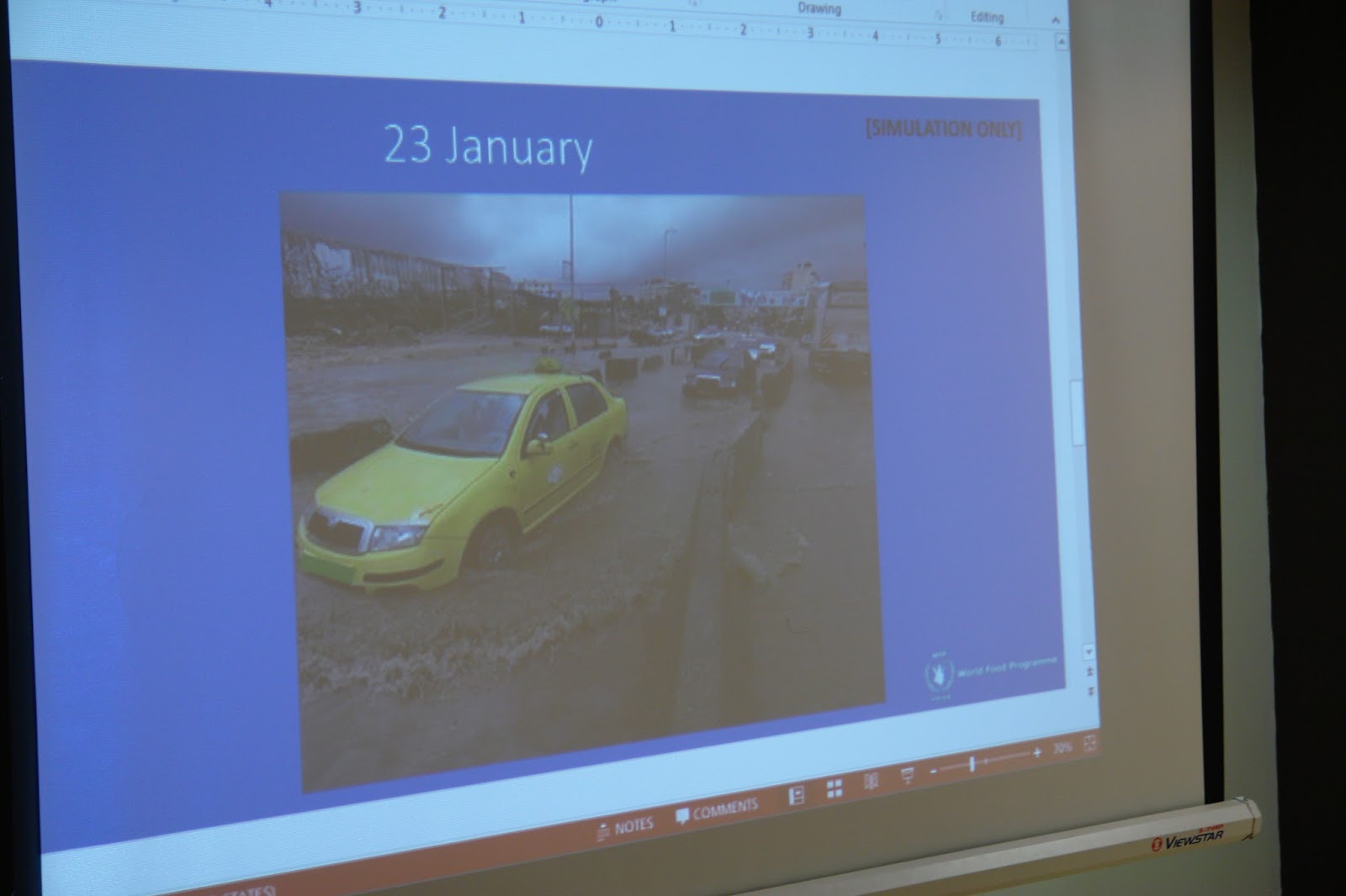
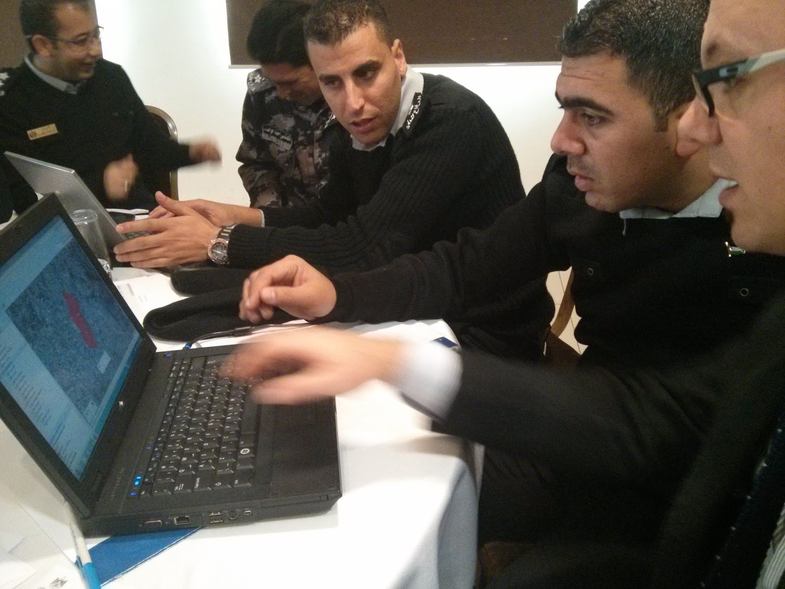
La terza giornata è stata quella in cui maggiormente si è fatto tesoro delle attività svolte: oltre a completare la simulazione (organizzazione di squadre per la prevenzione e risposta a piogge di grande intensità, con l'utilizzo dei tre Information Management Tools) si è tenuta infatti anche una sessione di confronto tra i partecipanti. Ognuno dei tre gruppi ha realizzato un breve report sulle attività condotte durante la simulazione, evidenziando quanto sia stato appreso e quanto possa essere migliorato, sia in termini di prodotti software che in termini di organizzazione di ulteriori simulazioni, eventualmente estese a un numero più vasto di partecipanti e da tenersi sul campo.
Il feedback è stato davvero positivo. Mettendo insieme i commenti raccolti, sono emersi come principali punti:
PROS E OBIETTIVI RAGGIUNTI
- E' stata raggiunta consapevolezza nell'utilizzo del Sistema Integrato dei tre Information Management Tools (geoSDI, GRASP, Web Portal)
- Sono state acquisite le competenze necessarie per l'utilizzo degli strumenti informatici per una migliore gestione delle fasi di allerta, gestione dell'emergenza e post-emergenza
- La forma della simulazione consente al training di proiettare l'utilizzo degli strumenti nel lavoro quotidiano
- Vi è stata partecipazione attiva negli esercizi e nelle attività di simulazione
- La forma della simulazione ha consentito anche di lavorare sulla coordinazione delle competenze dei dipartimenti
- Gli strumenti utilizzati hanno consentito di produrre scenari, mappe e report in modo rapido e senza trovarsi necessariamente in una centrale, trattandosi di applicazioni fruibili via web con il solo web browser
ELEMENTI MIGLIORABILI
- E' stato molto apprezzata l'integrazione di geoSDI con GRASP (che fornisce strumenti mobile per la raccolta di dati in campo) ed è stato suggerito di poter lavorare insieme alla realizzazione di più tipi di forms di raccolta dati
- Nelle simulazioni sono stati messi a disposizione 2 laptop per ogni gruppo: suggerimento a riguardo, per eventuali prossime simulazioni, è di utilizzare più computer, in modo da poter sperimentare ognuno di più
- L'esperienza è stata definita "eccitante" e sarebbe migliorabile portando le simulazioni sul campo e aumentando il numero di giornate
- La preparazione della simulazione potrebbe essere condotta insieme con i funzionari del PCD, in modo da rendere gli eventi simulati ancora più realistici e facendo in modo di creare un core team di specialisti del PCD che possa nel tempo avere autonomia nell'utilizzo e nella gestione dei 3 IM Tools
- Già si parla di prossime simulazioni, da estendere a gruppi più grandi, in cui i 33 che hanno partecipato a queste attività potranno essere insieme ai facilitatori del WFP e del geoSDI Team nell'organizzazione dell'evento e nella conduzine dell'esercitazione.

THE SIMULATION IN PALESTINE WITH THE WORLD FOOD PROGRAMME AND THE PALESTINIAN CIVIL DEFENCE CONCLUDES
WFP PCD
"An experience to increase the capacity of its staff in all fields of knowledge, to provide the best service to the public through qualified experts"
As said by the Brigadier General Yousef Nassar, deputy director of the PCD (Palestinian Civil Defence) speaking about the three days of training and simulation on Information Management Tools (geoSDI, GRASP, Web Portal) conducted by WFP (with the support of the Italian geoSDI team) for 33 officials of various departments of the PCD.
The third day was the one which made the most of the activities; in addition to completing the simulation (organizing teams to work towards the prevention and response of high precipitation and intensity, with the use of the three Information Management Tools) a session was held for the participants to compare findings, methods and tools. Each of the three groups has produced a short report on the activities conducted during the simulation, showing how much has been learned and what can be improved- both terms of the software used, the general organization to implement for future simulations. Possibly extending the number of participants on the field.
The feedback has been very positive. From the comments collected we've synthesized the main points:
PROS AND ACHIEVEMENTS
- An understanding was reached in the use of the Integrated System of the three Information Management Tools (geoSDI, GRASP, Web Portal)
- Skills necessary were acquired for the use of IT tools for better management of the phases of alert, emergency management and post-emergency.
- The set up of the simulation allows the training to project the use of the tools in daily work
there was active participation in the exercises and simulation activities
- The structure of the simulation also allowed to work on coordination of the competence of the departments
- The instruments used have allowed us to produce scenarios, maps and reports quickly and without the need to be in the office/HQ- in the case of applications accessed via the Web with only a web browser.
POSSIBLE IMPROVEMENTS
- The integration of geoSDI and GRASP(which provides mobile tools for the collection of data in the filed) was greatly appreciated, and was suggested the working together we could create more forms of data collection
During the simulation, two laptops were provided to each group.
- In terms of this it was suggested that more laptops be made available for future simulations to make sure everyone has more chance to practice and experiment
- The experience was described as "exciting" and would be improved by bringing the simulations in the field and to increase the number of days
- The preparation of the simulation could be conducted together with PCD officials, in order to make the events simulated more realistic, and doing so to create a core team of specialists in the PCD that can take over and have control during the period of the simulation in the use of the 3 Information Management tools
- There is already talk of the next simulations, to be extended to larger groups, in which the 33 who participated in these activities may be facilitators along with WFP and geoSDI Team in organizing the event and the conducting of the exercise.
GALLERY